What is Base Radar 2026
Base Radar 2026 is an AI-driven logistics platform designed for real-time fleet visibility and route optimization. It distinguishes itself from meteorological weather radar or military defense systems by focusing entirely on supply chain efficiency. The software integrates with existing transportation management systems to provide actionable data on vehicle location, cargo status, and estimated arrival times.
Unlike traditional tracking methods that rely on manual updates or GPS pings, Base Radar 2026 uses machine learning to predict delays before they occur. By analyzing traffic patterns, weather conditions, and historical delivery data, the system dynamically adjusts routes to reduce idle time and fuel consumption. This proactive approach helps logistics managers maintain service levels even during unexpected disruptions.
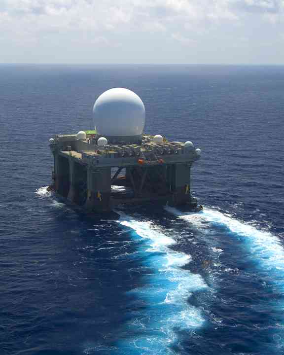
The platform’s name references its foundational role in the logistics ecosystem, acting as the central "radar" for all shipping operations. It provides a unified dashboard where operators can monitor entire fleets, identify bottlenecks, and allocate resources more effectively. This level of visibility is critical for companies aiming to reduce operational costs and improve customer satisfaction.
How ai-driven tracking works
The name "Base Radar" can be confusing because it sounds like the weather maps or military defense systems you might see on the news. In logistics, however, we are not looking at cloud formations or missile trajectories. We are looking at the movement of physical goods across a supply chain. The system uses radar-like principles to detect location, but the intelligence comes from artificial intelligence that turns simple coordinates into predictive insights.
Passive tracking tells you where a shipment is right now. AI-driven tracking tells you where it will be in four hours and what might delay it. The system ingests location data from GPS, RFID, and IoT sensors, then applies machine learning models to historical shipping patterns, traffic conditions, and weather data. This allows the platform to forecast arrival times with far greater accuracy than a simple distance calculation.
Predictive insights over passive updates
The real value of this technology lies in its ability to anticipate problems before they happen. Instead of waiting for a driver to report a delay, the AI detects anomalies in speed or route deviation. It can predict that a shipment will miss a loading dock window due to upcoming congestion and suggest an alternative route or a different time slot. This proactive approach reduces idle time at warehouses and keeps the entire logistics network moving smoothly.
By shifting from reactive reporting to predictive management, companies can optimize their inventory levels and reduce the costs associated with expedited shipping. The AI acts as a central nervous system for the supply chain, constantly analyzing data to ensure that goods arrive exactly when they are needed, not just where they are expected to be.
Smart fleet management features
Base Radar 2026 transforms fleet operations from reactive repairs to proactive management. Unlike weather or defense radar, this logistics platform uses real-time data to monitor vehicle health and driver performance. The system acts as a central nervous system for your fleet, identifying issues before they cause delays.
Route optimization
AI-driven routing adjusts to traffic, weather, and delivery windows instantly. Instead of static schedules, the platform calculates the most efficient paths for each truck. This reduces idle time and fuel consumption by keeping vehicles moving smoothly. Drivers spend less time stuck in congestion and more time completing deliveries.
Driver behavior monitoring
The system tracks harsh braking, rapid acceleration, and speeding. Fleet managers receive alerts when unsafe driving patterns emerge. This data helps identify training needs and promotes safer roads. It also lowers insurance premiums by demonstrating a commitment to driver safety and accident prevention.
Maintenance alerts
Base Radar 2026 monitors engine diagnostics and mileage to predict maintenance needs. The platform schedules service before breakdowns occur. This minimizes unexpected downtime and extends vehicle lifespan. Fleet managers can plan repairs during off-hours, ensuring vehicles are always ready for the next shift.
Supply chain visibility benefits
It helps to distinguish this technology from weather or defense radar systems, which track atmospheric conditions or aerial threats. Base Radar 2026 is a logistics tracking framework that uses similar signal principles to monitor physical goods in transit. This distinction matters because the business impact is measured in operational efficiency and customer trust rather than meteorological data.
The primary benefit is end-to-end transparency. By providing real-time location data, the system eliminates the "black hole" effect where shipments disappear from view between pickup and delivery. This visibility allows logistics managers to see exactly where inventory sits at any moment, transforming passive tracking into active management.
Reduced delays are a direct result of this clarity. When a shipment encounters an unexpected obstacle, such as a port congestion or a route closure, AI algorithms can instantly reroute the cargo. This proactive adjustment prevents idle time at warehouses and keeps delivery windows intact, saving both fuel and labor costs.
Improved customer communication is the final major advantage. Instead of relying on delayed email updates, customers receive accurate, automated notifications about their shipment's status. This transparency reduces the volume of customer service inquiries and builds long-term trust, as clients always know when to expect their goods.
Integrating Base Radar into Operations
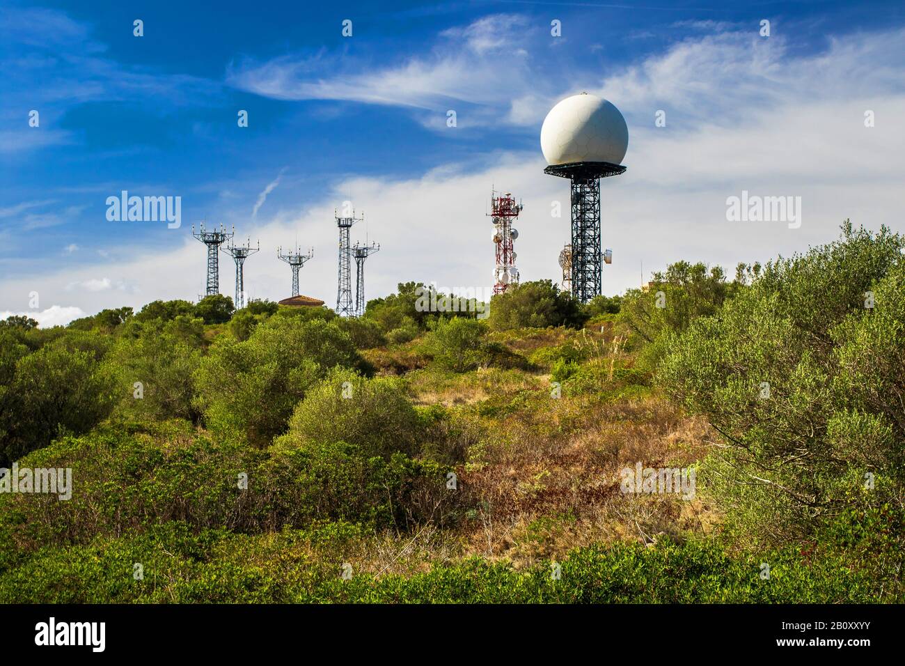
Implementing Base Radar 2026 requires a shift from manual tracking to automated geospatial intelligence. It is important to distinguish this logistics tool from meteorological weather radar or military defense systems, as Base Radar focuses on asset visibility and supply chain precision rather than precipitation or threat detection. The integration process centers on connecting your existing transportation management systems to the platform’s real-time data streams.
Begin by auditing your current data sources. Logistics managers must identify which telematics, GPS, or ERP systems feed into their operations. Base Radar integrates most effectively when these existing data pipelines are standardized, ensuring that asset locations and status updates flow into the new AI engine without fragmentation.
Define the operational boundaries that trigger alerts. Instead of passive tracking, set up dynamic geofences around warehouses, ports, and high-risk zones. The AI analyzes movement patterns to predict delays before they occur, allowing dispatchers to reroute vehicles and reduce idle time at congested hubs.
Launch a limited pilot with a single fleet or route. Compare the AI’s predicted arrival times and asset locations against ground-truth data. This validation phase ensures the platform correctly interprets your specific logistics context, filtering out noise from weather or traffic anomalies to provide reliable operational insights.
Roll out the system across all regions and train dispatchers on interpreting AI recommendations. Focus on how the platform highlights inefficiencies, such as unnecessary detours or dwell time. Continuous training ensures that your team leverages the tool for proactive decision-making rather than just reactive monitoring.
Common Questions About Base Radar
Base Radar 2026 operates in the logistics and supply chain sector, distinct from meteorological or defense radar systems. While traditional radar tracks weather patterns or aircraft, Base Radar uses AI to monitor inventory movement, warehouse efficiency, and transport routes. Understanding this distinction is essential for evaluating its capabilities in commercial operations.
No comments yet. Be the first to share your thoughts!