AI geospatial intelligence 2026: Limits to account for
The 2026 landscape for AI geospatial intelligence is defined by a shift from experimental pilots to mission-critical deployment. Geospatial technologies are no longer just for mapping; they are essential for location intelligence in operations where the cost of error is high. For urban planners and defense strategists, the constraint is no longer data availability, but the ability to process and trust that data in real-time.
This year marks a significant inflection point. Government and enterprise sectors are prioritizing systems that can handle the volume of satellite, drone, and IoT sensor data without compromising security or latency. The focus has moved toward integrated platforms that combine AI-driven analysis with robust geospatial frameworks, ensuring that insights are actionable rather than just visible.
As we look at the top trends shaping this space, the emphasis is on practical application. We are seeing a convergence of artificial intelligence with traditional geospatial information systems (GIS), creating tools that can predict urban growth patterns or monitor defense perimeters with unprecedented accuracy. The following examples illustrate how this technology is being applied in high-stakes environments today.
AI geospatial intelligence 2026: Choices that change the plan
Deploying AI-driven radar and geospatial intelligence in 2026 requires balancing accuracy, cost, and operational security. Urban planners and defense officials must evaluate these tools not just for raw data volume, but for how well the systems integrate with existing infrastructure. The following comparison highlights the primary tradeoffs between different deployment approaches.
The choice often comes down to where the decision needs to happen. Cloud-native solutions offer superior scalability for broad urban planning trends, allowing cities to analyze vast historical datasets without heavy upfront hardware costs. However, for defense applications where latency can mean mission success or failure, edge-deployed radar systems provide the immediate processing power needed for real-time threat detection.
Hybrid architectures are increasingly becoming the standard for high-stakes environments. By keeping sensitive raw radar data on local edge servers while sending anonymized insights to the cloud, organizations can maintain strict data sovereignty while still leveraging the massive computational power of cloud-based AI models for long-term pattern recognition. This approach mitigates the privacy risks of pure cloud deployment while avoiding the hardware limitations of pure edge systems.
Ultimately, the best tradeoff depends on your specific threat model or planning horizon. If you need instant reaction to dynamic changes, prioritize edge capabilities. If you need broad, long-term trend analysis across a city or region, cloud-native tools offer greater flexibility. Most modern deployments now blend both to get the best of each world.
Choosing the Right Approach
AI-driven geospatial intelligence is no longer just a defense tool; it is reshaping how we plan cities and secure borders. For planners and defense officials, the challenge is no longer whether to adopt these systems, but how to integrate them effectively. The 2026 landscape offers distinct pathways depending on your primary mission: urban resilience, defense readiness, or infrastructure optimization.
To navigate this shift, use this practical decision framework. Each step highlights a specific application, the required technology, and the key tradeoffs to consider before committing resources.

Use AI to forecast flood risks, traffic congestion, and heat islands. This approach focuses on civilian safety and resource allocation. The primary benefit is proactive disaster management, which reduces long-term economic damage. However, it requires high-quality historical data and significant computational power to run accurate simulations.

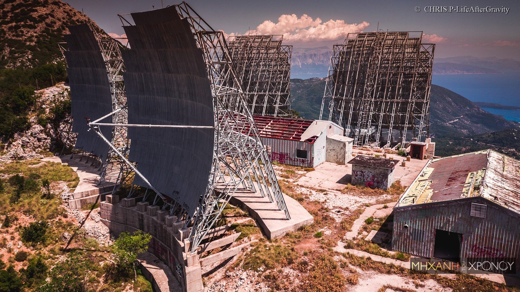
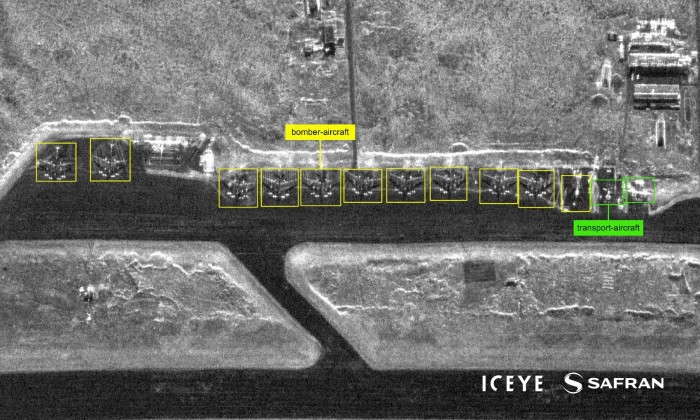
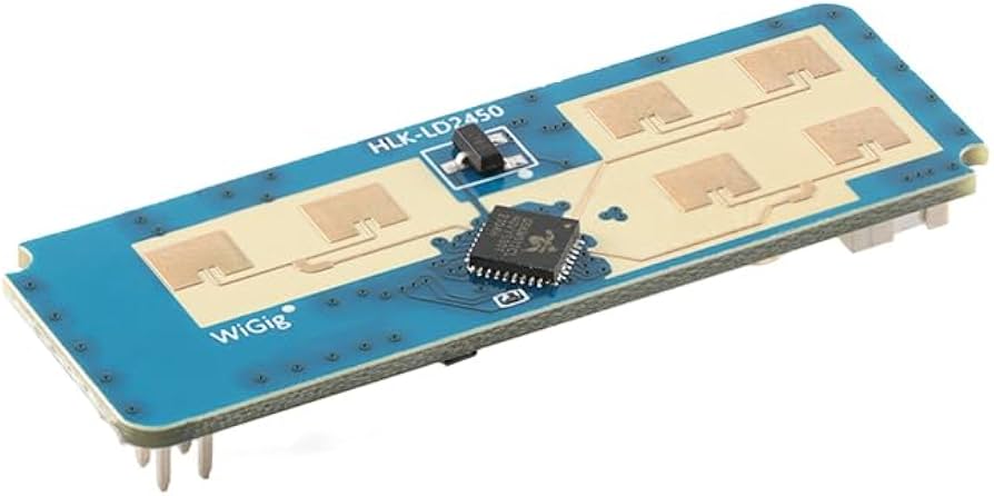
Deploy base radar systems integrated with AI for rapid threat detection and tracking. This is critical for national security and border control. The tradeoff involves high initial costs and the need for specialized personnel to interpret complex data streams. Ensure your system can handle high-volume, low-latency data processing to remain effective against advanced threats.
Apply geospatial AI to monitor bridge health, road conditions, and utility networks. This method extends asset lifespan and reduces maintenance costs. The key challenge is integrating disparate data sources from different municipal departments. Start with a pilot program in one district to test data interoperability before scaling up.
Break down silos between urban planning, defense, and emergency services. Shared geospatial platforms allow for coordinated responses to crises. This approach maximizes the value of existing radar and sensor data. The main hurdle is data security and privacy compliance. Establish clear governance protocols early to ensure secure, yet accessible, information sharing.

As an Amazon Associate, we may earn from qualifying purchases.
Choosing the right path requires aligning your specific operational needs with the capabilities of modern AI and radar technology. By focusing on one of these core areas, you can implement a strategy that delivers tangible results in either urban planning or defense readiness.
Spotting Weak Options in Base Radar Tech
The 2026 base radar revolution promises AI-driven precision, but not every vendor delivers on that promise. Urban planners and defense contractors often fall for marketing hype that ignores real-world constraints. Before committing to a new geospatial intelligence system, look for these common pitfalls.
Ignoring Multi-Modal Data Integration
Many vendors pitch "AI-powered" radar as a standalone solution. In reality, base radar data is most effective when fused with optical, thermal, and LiDAR inputs. If a system cannot ingest and cross-reference external datasets, it creates blind spots. Look for open API architectures that allow seamless integration with existing GIS platforms rather than closed ecosystems.
Overlooking Latency in Edge Computing
Defense and urban surveillance require near-instantaneous analysis. Some AI models are trained on cloud servers, introducing dangerous latency during critical moments. Ensure the radar system includes edge computing capabilities to process data locally. This reduces bandwidth costs and ensures operations continue even if connectivity is compromised.
Neglecting Environmental Calibration
Radar signals are affected by weather, terrain, and urban clutter. Vendors who provide generic accuracy specs without detailing their environmental calibration methods are often oversimplifying. Ask for test results from conditions similar to your specific deployment site. A system that performs well in a lab may fail in a dense city or complex battlefield.
Failing to Address Data Privacy
Urban planning involves sensitive population data. AI-driven radar can inadvertently capture private information. Ensure the system has built-in privacy filters that anonymize data at the source. Compliance with local regulations is not optional; it is a baseline requirement for any geospatial intelligence tool deployed in public spaces.
AI geospatial intelligence 2026: what to check next
As AI-driven geospatial tools move from experimental to essential, practical questions about accuracy, privacy, and integration dominate the conversation. Here are the answers to the most common concerns facing urban planners and defense analysts.
How accurate are AI-driven radar systems in 2026?
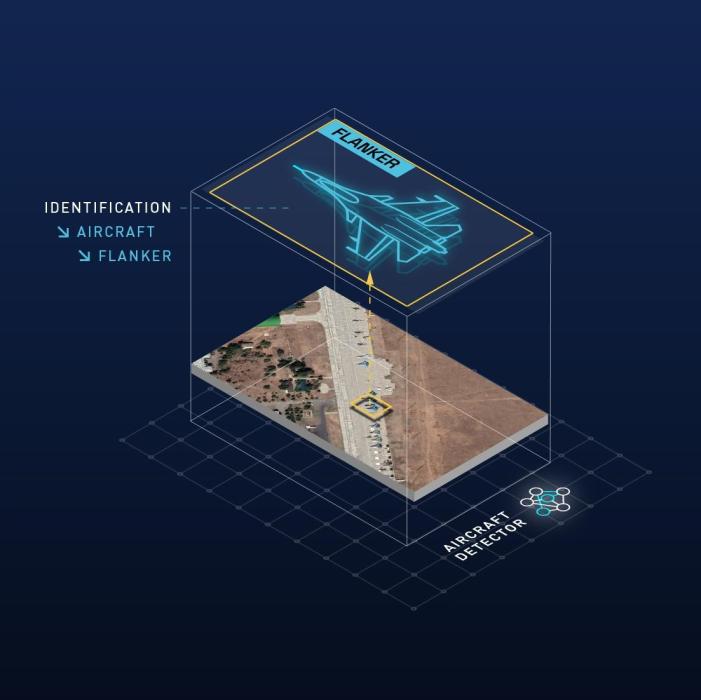
Modern AI models, particularly Large Geospatial Models (LGMs), have significantly reduced error rates in complex urban environments. By combining synthetic aperture radar (SAR) data with optical imagery, these systems can detect structural changes with centimeter-level precision, even through cloud cover or at night. However, accuracy still depends on the quality of the training data and the specific resolution of the satellite or drone hardware.
Is using AI for geospatial analysis legal and ethical?
Legal frameworks are evolving rapidly. In the EU, the AI Act classifies many geospatial surveillance tools as high-risk, requiring strict transparency and human oversight. In the US, defense applications operate under different export controls and privacy exemptions. Planners must ensure their vendors provide audit trails for algorithmic decisions, particularly when automated zoning or security alerts impact individual rights.
Can AI replace traditional GIS specialists?
No. AI excels at pattern recognition and data processing, but it lacks the contextual understanding required for policy-making. A GIS specialist interprets what the AI finds—distinguishing between a construction site and a flood zone, for example. The most effective workflows use AI to handle the heavy lifting of data aggregation, freeing specialists to focus on strategy and community engagement.
How does AI handle real-time data updates?
Real-time processing is now feasible for critical defense and emergency response applications. Edge computing allows drones and ground sensors to process radar data locally, sending only relevant alerts to central command. For urban planning, "real-time" usually means near-real-time (hours to days), which is sufficient for monitoring traffic flow or construction progress without overwhelming network bandwidth.
No comments yet. Be the first to share your thoughts!