Base radar 2026 limits to account for
Selecting the right radar system for 2026 requires balancing technical specifications against real-world constraints like budget, maintenance cycles, and integration complexity. Separate must-have requirements from nice-to-have features to avoid overpaying for capabilities you won't use. A robust procurement strategy begins with a clear understanding of the operational environment, whether that involves dense urban canyons, open rural airspace, or coastal monitoring zones.
| Factor | What to check | Why it matters |
|---|---|---|
| Fit | Match the option to the primary use case. | |
| Condition | Verify age, wear, and service history. | Hidden condition issues erase upfront savings. |
| Cost | Compare purchase price with likely upkeep. | The cheapest option is not always the lowest-cost option. |
Base radar 2026 choices that change the plan
Define the constraint, compare realistic options, test the tradeoff, and choose the path with the fewest hidden costs. This process ensures that the selected radar architecture supports long-term operational goals rather than just meeting initial procurement criteria.

Spotting weak radar claims
When evaluating AI-driven geospatial intelligence and modern radar systems, separate genuine capability from vendor hype. Many proposals promise "complete modernization" without explaining the underlying architecture or data handling protocols. Planners must look beyond marketing slides to understand how the system performs under stress.
The Digitization Trap
Converting analog signals to data streams does not automatically mean better insights. Planners often mistake data volume for data quality. Check if the vendor can integrate their radar feed with existing city GIS layers. If they cannot, the AI is just an expensive noise generator. Ensure the system supports standard data formats like NEXRAD or ASTERIX to maintain interoperability with legacy systems.
AI Overfitting in Urban Canyons
AI models trained on open fields fail in dense cities. Skyscrapers create multipath errors where radar signals bounce off glass facades, creating ghost targets. Ask vendors for their error rates in high-density environments. Do not accept generic accuracy claims; look for specific metrics on false positives in urban canyons. Request case studies from similar metropolitan deployments to verify real-world performance.
The Common Architecture Myth
If a vendor locks you into their proprietary format, you cannot share data with neighboring jurisdictions. Demand open standards. Without open APIs, your geospatial intelligence becomes a siloed asset, useless for regional planning. Verify that the system supports cloud-native architectures that allow for scalable data processing and easy integration with third-party analytics tools.
Proof checks
- Verify the source: Is the data coming from a primary radar network or a third-party aggregator? Primary sources offer higher fidelity and lower latency.
- Check the latency: AI insights are useless if they arrive after the event has passed. Ensure end-to-end latency meets your operational requirements, typically under 100ms for critical applications.
- Audit the training data: Who trained the AI? On what datasets? Was it tested in urban settings? Look for transparency in model training and validation processes.
Base radar 2026: what to check next
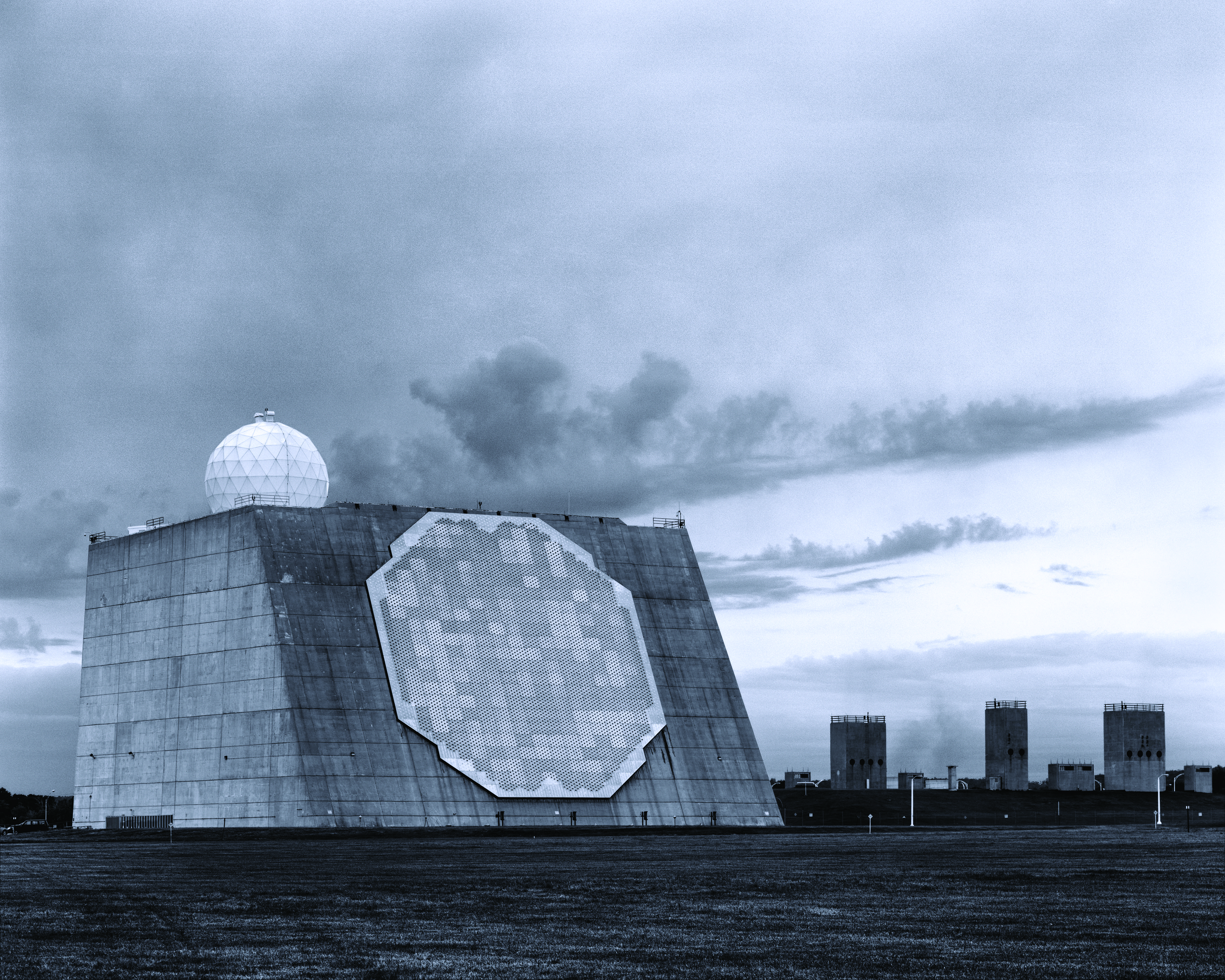
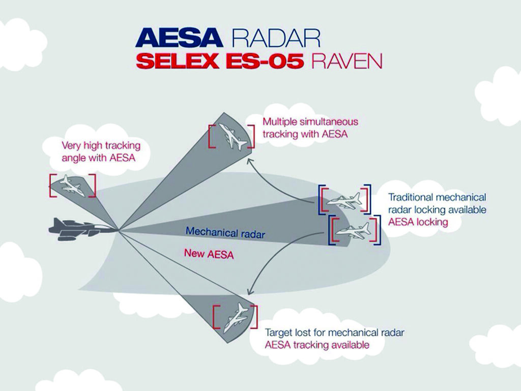
The shift from analog to digital architectures promises higher resolution and faster data processing. Address these practical concerns regarding accuracy, deployment, and integration. Modern radar systems must also consider cybersecurity, as connected devices are vulnerable to spoofing and jamming attacks. Implement robust encryption and authentication protocols to protect sensitive geospatial data.
No comments yet. Be the first to share your thoughts!